Rob and Bekah extended the Colorado trip past the Leadville Heavy Half trail run for some training hikes up a couple of the 14'ers. "14'ers" are the name for summits above 14,000 ft elevation... and apparently people "collect" hiking all of them. There's a checklist and everything at http://www.14ers.com/routes_check1.html.
Mount Massive was the top of the list for us to hike. It's the second highest in the area -- Mount Elbert wins the title of tallest by 12 measly feet. On the difficulty scale, Massive is ranked as a "2". With a 14 mile roundtrip and 4,000 feet elevation gain, you'd think that elevation gain would be fairly spread out. It was a nasty surprise to learn that the last 2,000 feet are covered in the last mile and half or so....
 |
| I should have paid closer attention to this profile before hiking |
I had learned my lesson from the trail run at Leadville-- this was going to be a slow day. At Leadville we had climbed 3,000 feet and the trip was 15.5 miles roundtrip. Factoring in "Kili prep" of hiking boots and loaded backpack, I estimated it would take 8 hours, maybe 8.5 to do this hike roundtrip. I was wrong. so very, very wrong.
 |
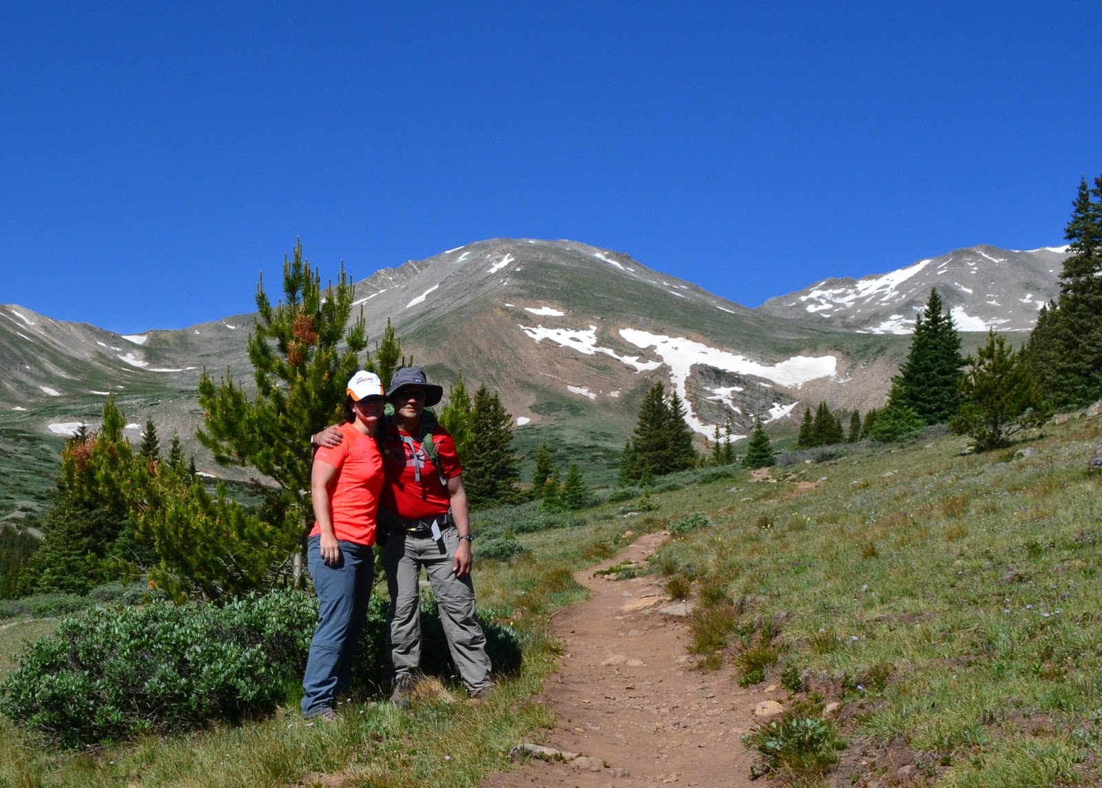
| At the trailhead, ready to tackle our first 14er! |
 |
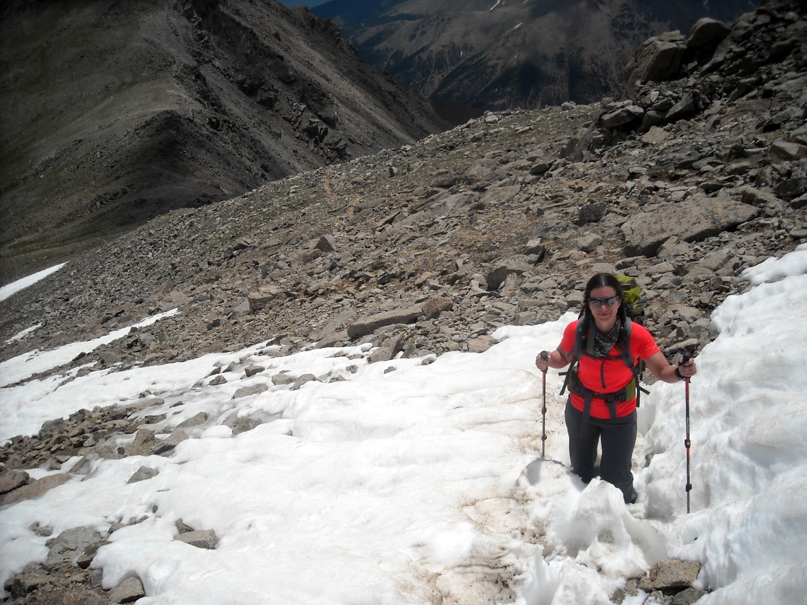
| poles help crossing streams |
This part of the trail was right on plan. we were averaging over 2 mph, which is what I expected with packs.
At the treeline, we stopped for a snack and took this photo. Still a long ways to go to the top.

We kept climbing and soon could see Leadville below us in the distance:

The weather was holding up and the skies were clear. As we got higher in elevation, it was getting a bit cooler. We had chatted with some hikers (and a few trail runners) who were already on their way down and they warned that it would be very windy in the saddle but that otherwise it wasn't too bad up top.
Sometime after 12,000 ft, our pace really slowed down. Rob dropped two of his water bottles off at this point to lighten up his pack. We marked the elevation and the interesting rock he stashed them at so we could pick them up on the way down. I held on to my overloaded liquid stash for another 670 ft in elevation change before I decided I had enough too. I picked a nice large boulder with a little carve out to stash a full gatorade, my two sports bottles and a half gatorade, also noting the elevation so I wouldn't miss them on the way down. Wow it felt good to be lighter!!
 |
| Can you tell where the trail goes? this wasn't it. |
 |
| Garmin Elevation: 14000+ ft! |
 We finally reached the summit. Though to be fair, it seemed like there are a couple of summits. The official one is where you sign the register. It had taken 6 hours to get to the top. There went my theory of being back to the car in under 8.5 hours!
We took a little bit of time at the top, taking pictures. The weather was perfectly clear and we weren't the last ones to the summit (we discovered later those that arrived after us had taken the shorter albeit steeper West slope route).
 |
| On top of the world! |
 |
| Rob at Mount Massive summit |
 After hanging out a bit at the summit, the wind chill was getting cool and we donned long sleeves and started on our way down.
Along the way we met some of the locals.... whatever these rodents are. they're kind of cute.

 Right after we descended from the saddle, it really started getting cold and we stopped to get out our winter coats. There were a few snowflakes but nothing serious yet. We could see a storm forming off in the mountains on the left side.
At 12, 670 ft I stopped to pick up my water bottles. Turns out those cute little rodents had chewed off the lid on my IMAZ sports bottle. I emptied out what was left in that, put everything back in my pack and we headed down.
Then suddenly, everything changed. The clouds off to the left got REALLY dark. and a giant lightning strike happened on the next mountain over. I may have been yelling at Rob to pick up the pace as we tried our best to make the treeline before the storm rolled over. Instead, we got pelted by hail. Not big hail, but a constant and steady shower of tiny pellets. I feared to look back into the hail so I kept track of where Rob was by calling out and he would check in. I was really getting the hang of those poles to move forward though! There are no pictures of this part of the adventure, we were way too focused on hauling butt down the side of the mountain than documenting evidence of the fantastic clouds, hail and thunder.
We finally made the treeline-- and the rain stopped. Of course. :)
Turns out the last few miles are not all downhill, but go up and down. I didn't remember this from our trip up. Although the change from trailhead to summit elevation is 4,000 feet, we had a total elevation gain over 6,000 ft.
I estimate that we had maybe an hour and half of stops, and the rest was in constant forward motion. My Garmin disagrees: it tells me that I was moving so damn slow that only 5.5 hours of "actual moving time" count, even though it's spot on for the distance covered. That's kind of depressing.
Total Time to complete hike, with time at summit and nutrition stops: 11 hours and 2 minutes.
 |
| Ice bath for my tired feet after the hike |
No comments:
Post a Comment